A FLUKE OF NAVIGATION!
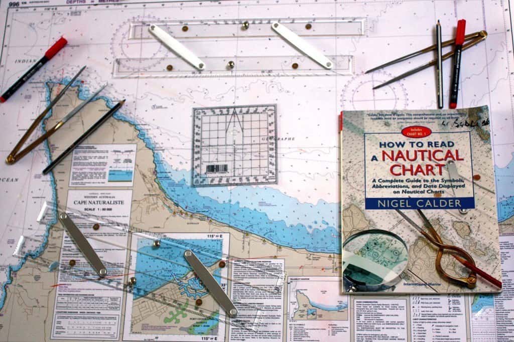
I have always had an interest in marine navigation, although it did not really click with me until about twenty years ago, when completing a coastal navigation course by correspondence for my Coxswain commercial qualification. Local artisan Simon James was doing the course at the same time and we well remember long nights scrutinising the Whitsunday Islands marine chart. Tasks included identifying latitude and longitude, speed/distance/time calculations, accounting for magnetic variation and deviation when setting a ship’s course and fixing a vessel’s position. For anyone who has sailed the coastline or done any serious boating, this is an essential skill to have, especially if the GPS system chucks a wobbly or you lose power to the plotter. Besides these reasons, I love plotting my fishing spots on marine charts so I have a much better awareness of the locations as opposed to looking at the ten inch screen on my boat’s GPS. When I began travelling to the Pilbara and Kimberley, I purchased the relevant marine charts from the Fremantle Chart and Map shop ( online purchases easy ), became familiar with the area, looked for contour changes on the chart and then searched for new fishing grounds. So a few weeks ago, when Ian Englert passed me an article titled, Fluke of Navigation, I was immediately interested. A little research revealed this article was published, exactly as below, by Khadevis Robinson on December 9, 2016.
‘The passenger steamer SS Warrimoo was quietly knifing its way through the waters of the mid-Pacific on its way from Vancouver to Australia. The navigator had just finished working out a star fix and brought the Master, Captain John Phillips, the result. The ships position was Latitude 0 S 31′ N and Longitude 179 S 30′ W. The date was 30 December 1899. “Know what this means?” First Mate Payton broke in, “We are only a few miles from the intersection of the Equator and the International Date Line.” Captain Phillips was prankish enough to take full advantage of the opportunity for achieving the navigational freak of a lifetime. He called his navigators to the bridge to check and double check the ships position. He changed course slightly so as to bear directly on his mark. Then he adjusted the engine speed. The calm weather and clear night worked in his favor. At midnight the Master ensured that the Warrimoo lay still on the equator at exactly the point where it crossed the International Date Line! The consequences of this bizarre position were many. The forward part (bow) of the ship was in the Southern Hemisphere and the middle of summer. The rear (stern) was in the Northern Hemisphere and in the middle of winter. The date in the aft part of the ship was 31 December 1899. Forward it was 1 January 1900. This ship was therefore not only in two different days, two different months, two different years, and two different seasons, but in two different centuries, all at the same time!’
In answer to last week’s question, the lone fisherman, who recently fell overboard without a life jacket off Exmouth, was in the water for six hours before being rescued. This week’s question is, “What are some of the causes of magnetic deviation on a ship’s compass?”
0409549356
Find us on seasoaringmarine

