NAVIGATING MADE EASY
After arriving in Port Hedland and setting up camp at Cooke Pt Caravan Park, I quickly made contact with Zac Slaughter, the Commander of the Port Hedland Volunteer Marine Rescue Group. Each year I hire out their premises to conduct skipper’s ticket and marine radio courses and Zac is always full of news, as he is obviously a keen boatie.
We initially debriefed the recent major incident they were involved in, when a helicopter ditched off the coast approximately twenty nautical miles out to sea. Sadly this was a recovery mission, not a rescue and they were expected to search a massive area. Other incidents included a capsized vessel with people in the water for seven hours and regular tow jobs due to engine failure or out of fuel. This is a particularly popular boating area and the rescue group have three dedicated vessels including a 10 metre Air Rider, 5 metre rigid inflatable and a 3.5m tinny. The group has lots of members, a great leadership team and good facilities, although recent meetings with the state government indicate that once a marina is established at the nearby spoil bank, then they can expect brand new premises and much easier boat launching facilities. The Port Authority are also very keen to move the recreational boating facility further away to minimise the potential issues of large iron ore carriers interacting with smaller vessels.
Zac was also very excited to chat about his impending seven day trip with three mates on an 8.5 metre boat, with a 3.5 metre tinny, heading out from Derby, exploring the Horizontal Falls and even up to the Prince Regent River. The vessel owner, Brett Ellacott, is an avid navigator and showed me an interesting tool he has been developing. With his engineering and technical background he has drawn on information from Navionics charts, satellite imagery and hydro graphics data to create safe access routes through the maze of coastline between Derby and Wyndham. Charter businesses such as True North and Great Escape do regular trips in this region, but the coastline is extremely hazardous, with up to 12 metre tides, so requires thorough planning. Brett’s navigation tool is far more accurate than any marine chart I have seen and highlights the safest passage to avoid the many hidden bombies and reefs that litter this area. Sometime in the future he intends to release it for the public and when he does so I will be one of the first to purchase it.
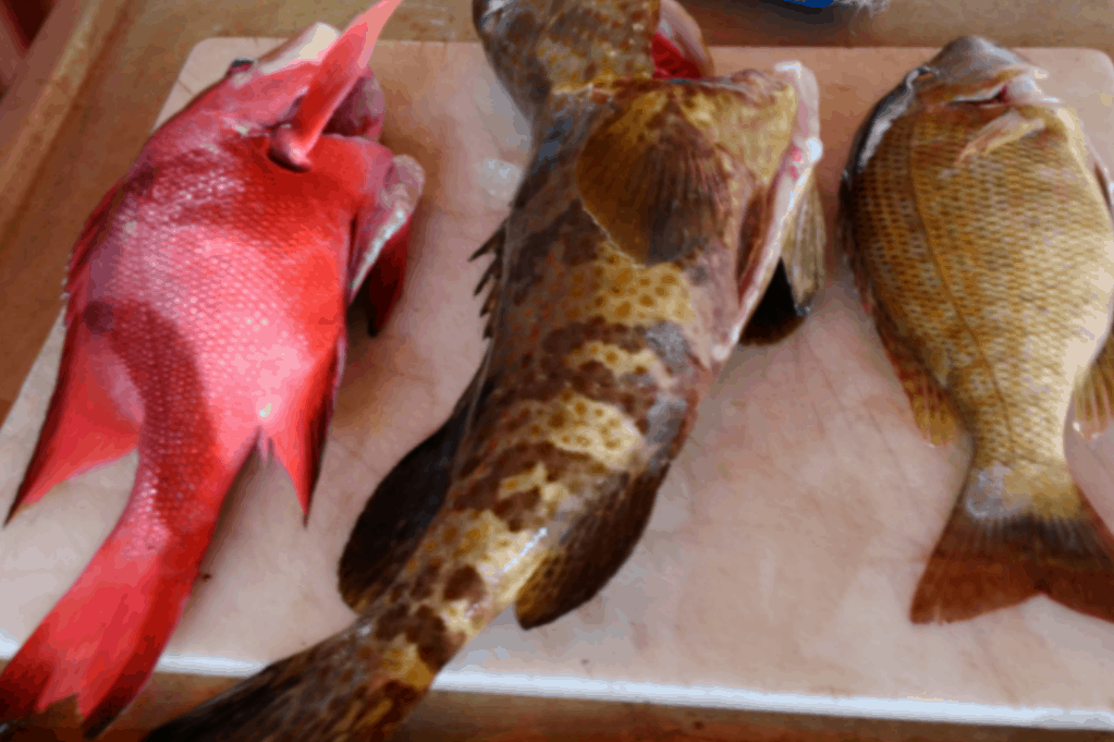
Meanwhile, I was able to venture out from Finucane Island before my marine courses cranked up, to do my first bit of ocean saltwater fishing from a boat since my shoulder operation back in February. I covered all bases with mulies, squid and cooked prawns for bait, along with soft plastics and jigs. Although the fish were only hungry for an hour or so on the turn of the high tide, I had a great shallow water fishing session landing three small mackies with jigs on the baitcaster, countless small cods, spanish flags and snapper. The three keepers were an estuary cod, blue line emperor and surprisingly, in only ten metres of water, a legal size red emperor.

